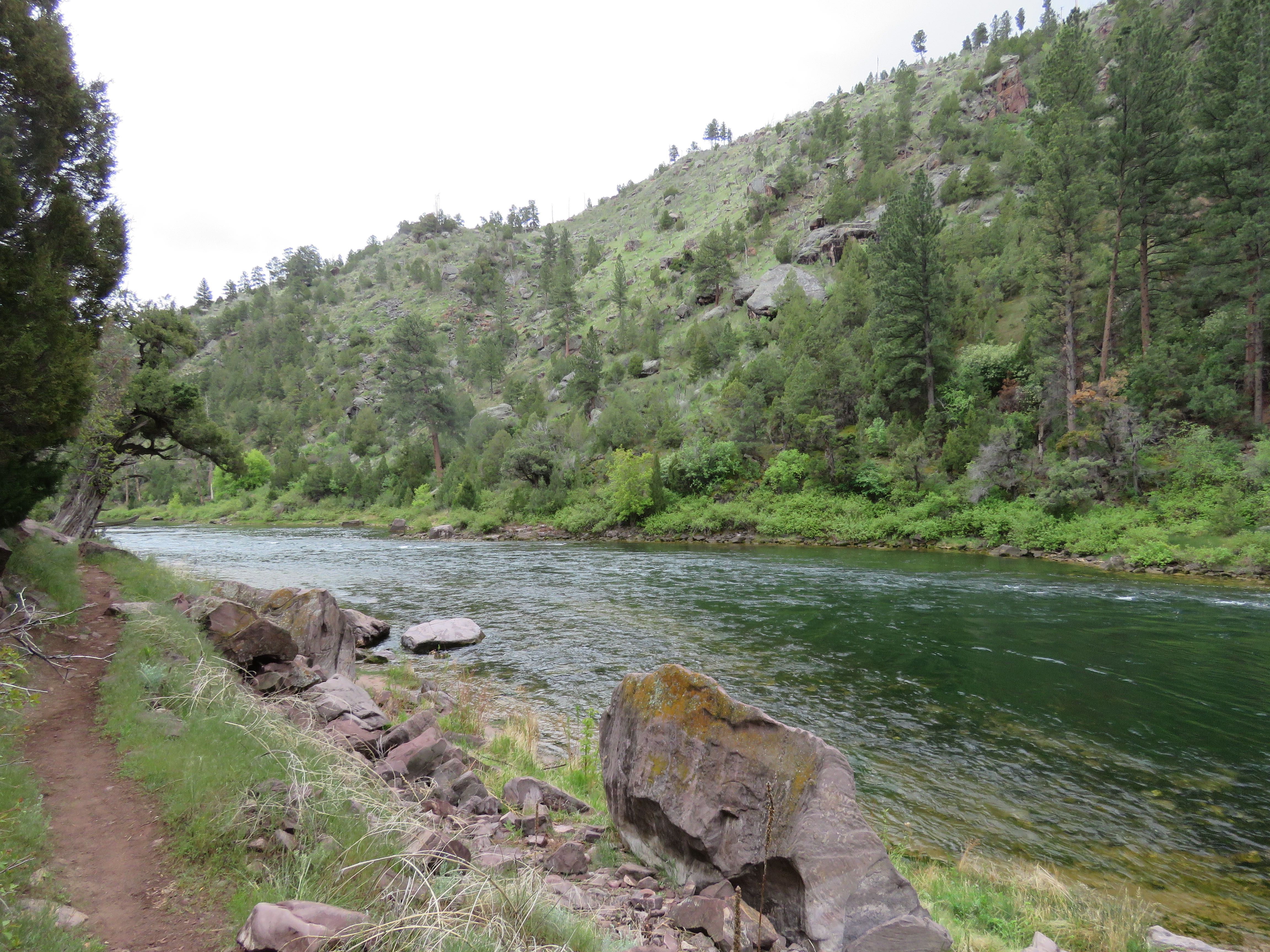
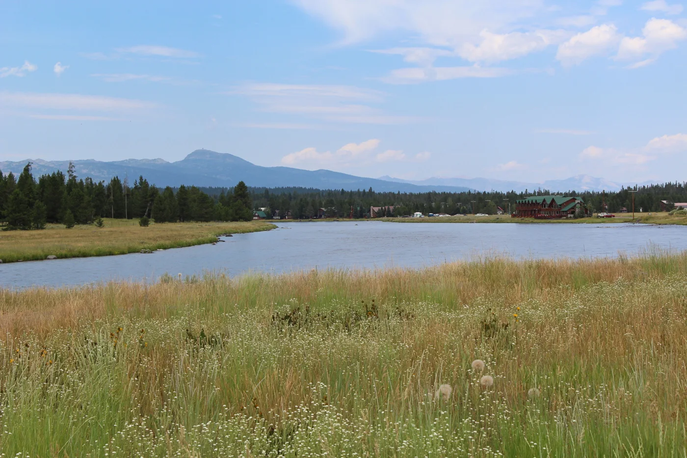
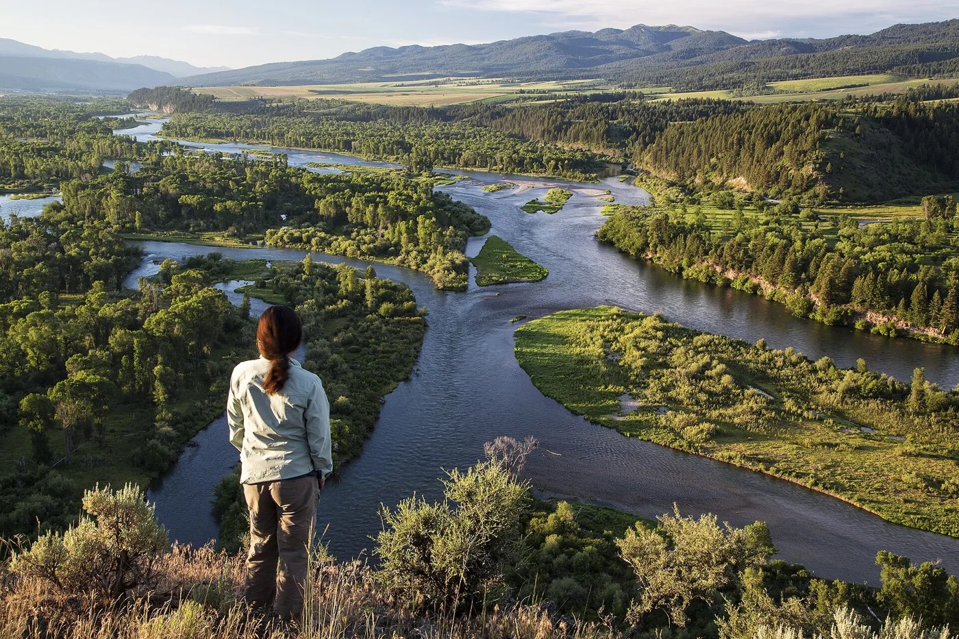
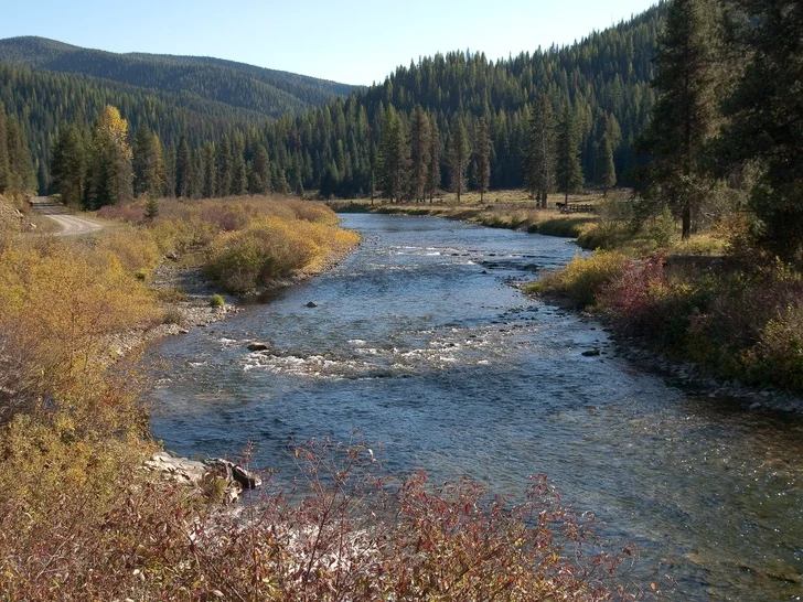
One river. A closer look.
Explore Rivers
of the Northwest & Rockies Choose a state and explore a river. Find flow readings, local forecasts, seasonal clues and links to access information and official fishing rules.
01 / Choose a state
WA Washington 5 river pages → MT Montana 7 river pages → UT Utah 2 river pages → ID Idaho 6 river pages → OR Oregon 7 river pages → WY Wyoming 3 river pages →
View full photo ↗ Yakima River Canyon · Hatch & Hackle Yakima River Canyon Ringer / Thrall to Roza
Why fish here? Big Canyon scenery, varied trout water and options to explore on foot or by boat.
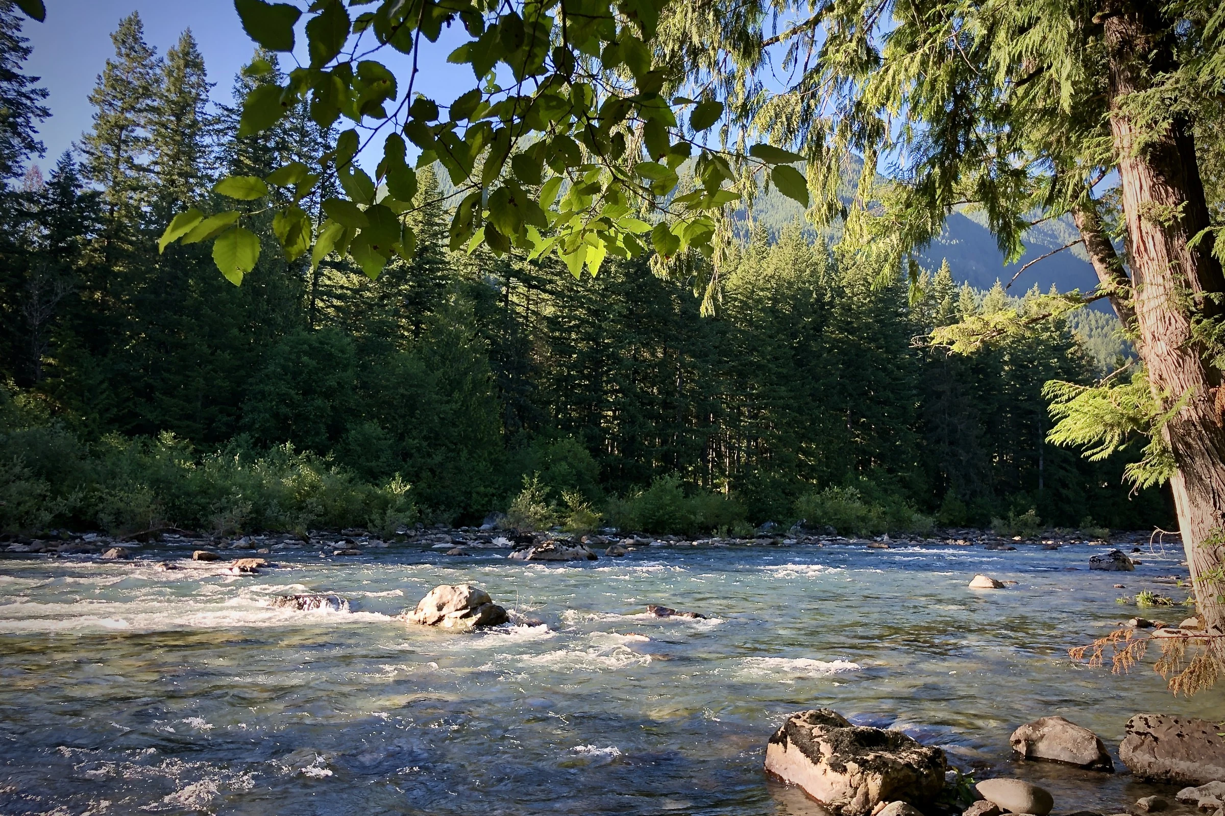
Flow readings and trend charts Local forecast and seasonal clues Access information and official rules Free Canyon map and atlas links View full photo ↗ Naches River upstream of the Tieton confluence; broader river context. · Robert Ashworth from Bellingham, WA., USA · CC BY 2.0 . Resized; display crop. Not current conditions. Naches River Naches valley near the Tieton confluence
Why fish here? A Cascade river where changing tributary flows make current seams worth studying.
Flow readings and source information Local forecast and seasonal clues Access information and official rules Share observations or request an atlas View full photo ↗ The Spokane River at Don Kardong Bridge in Spokane's University District. · Will Maupin · CC BY-SA 4.0 . Resized; display crop. Not current conditions. Spokane River Spokane mainstem urban corridor
Why fish here? Urban access meets riffles, islands and native redband trout water.
Flow readings and source information Local forecast and seasonal clues Access information and official rules Share observations or request an atlas View full photo ↗ The Methow River near Winthrop, Washington, in fall 2011. · Joseph Benjamin / USGS · U.S. public domain . Resized; display crop. Not current conditions. Methow River Winthrop valley mainstem
Why fish here? A mountain-valley river for reading riffles and the seams around larger stones.
Flow readings and source information Local forecast and seasonal clues Access information and official rules Share observations or request an atlas View full photo ↗ The lower Middle Fork Snoqualmie near Tanner and North Bend, Washington, in July 2022. · Steven Pavlov · CC BY-SA 4.0 . Resized; display crop. Not current conditions. Middle Fork Snoqualmie River Middle Fork Road corridor near Tanner
Why fish here? Forest, pocket water and a mountain-river outing close to Seattle.
Flow readings and source information Local forecast and seasonal clues Access information and official rules Share observations or request an atlas View full photo ↗ Lankyrider / Wikimedia Commons · CC BY-SA 4.0 · Historic photo, display cropMissouri River Holter Dam through Wolf Creek to Craig
Why fish here? Broad tailwater, abundant trout and long seams to study and fish.
Flow and measured water temperature Local forecast and seasonal clues Access information and official rules Share observations or request an atlas View full photo ↗ The Madison River south of Ennis, Montana, in a USDA photograph from 2018. · Preston Keres / USDA · U.S. public domain . Resized; display crop. Not current conditions. Madison River Upper Madison around Cameron and Kirby
Why fish here? Broken riffles and long current lanes on an iconic Montana tailwater.
Flow readings and source information Local forecast and seasonal clues Access information and official rules Share observations or request an atlas View full photo ↗ Bighorn River below Yellowtail Afterbay near Fort Smith, Montana · National Park Service · Public domain . Resized; display crop. Not current conditions. Bighorn River Yellowtail Afterbay to Bighorn Access
Why fish here? A productive tailwater where small food and careful drifts reward a closer look.
Flow readings and source information Local forecast and seasonal clues Access information and official rules Atlas updates and river observations View full photo ↗ Yellowstone River east of Livingston, Montana · Tim Evanson · CC BY-SA 2.0 . Resized; display crop. Not current conditions. Yellowstone River Paradise Valley near Livingston
Why fish here? Big freestone water with broad bends, riffles and mountain scenery.
Flow readings and source information Local forecast and seasonal clues Access information and official rules Share observations or request an atlas View full photo ↗ Big Hole River corridor, southwest Montana · Forest Service Northern Region from Missoula, MT, USA · Public domain . Resized; display crop. Not current conditions. Big Hole River Melrose and Divide valley reaches
Why fish here? Open valley water where riffles, bends and seasonal change are easy to compare.
Flow readings and source information Local forecast and seasonal clues Access information and official rules Share observations or request an atlas View full photo ↗ Bitterroot River near Darby, Montana · Forest Service Northern Region from Missoula, MT, USA · Public domain . Resized; display crop. Not current conditions. Bitterroot River Upper mainstem near Darby
Why fish here? A valley freestone with bends, side channels and a changing insect menu.
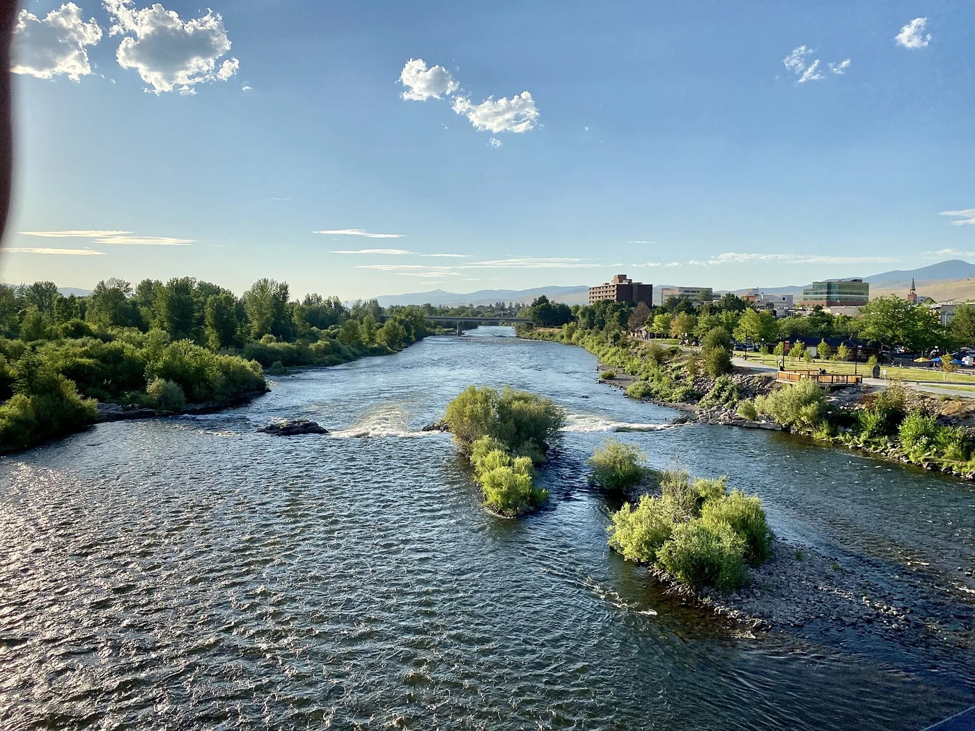
Flow readings and source information Local forecast and seasonal clues Access information and official rules Share observations or request an atlas View full photo ↗ Clark Fork in Missoula, Montana; downstream context for the Turah focus · w_lemay · CC BY-SA 2.0 . Resized; display crop. Not current conditions. Clark Fork River Mainstem above Missoula near Turah
Why fish here? Broad bends and softer seams on the mainstem above Missoula.
Flow readings and source information Local forecast and seasonal clues Access information and official rules Share observations or request an atlas View full photo ↗ Section A · Melissa A. Lombard / USGS · Public domain Green River Section A · Flaming Gorge Dam to Little Hole
Why fish here? Clear tailwater, dramatic red cliffs and a close look at how trout feed.
Flow and measured water temperature Local forecast and seasonal clues Access information and official rules Updates on the Green River atlas View full photo ↗ Autumn on the Provo below Jordanelle Dam, Utah, as identified by photographer Murray Foubister; the exact bend is unverified. · Murray Foubister · CC BY-SA 2.0 . Resized; display crop. Not current conditions. Middle Provo River Jordanelle Dam to Legacy Bridge
Why fish here? Accessible tailwater lanes with a close-up view of small-insect feeding.
Flow readings and source information Local forecast and seasonal clues Access information and official rules Share observations or request an atlas View full photo ↗ Henry's Fork at Last Chance, Idaho; nearby river context outside the Box Canyon focus · Z3lvs · CC0 . Resized; display crop. Not current conditions. Henry's Fork of the Snake River Box Canyon below Island Park Dam
Why fish here? Fast tailwater pockets and seams below Island Park Dam.
Flow readings and source information Local forecast and seasonal clues Access information and official rules Share observations or request an atlas View full photo ↗ South Fork Snake River, Idaho · BLMIdaho · Public domain . Resized; display crop. Not current conditions. South Fork Snake River Palisades Dam through Swan Valley toward Heise
Why fish here? Big tailwater bends, canyon scenery and distinct bankside feeding lanes.
Flow readings and source information Local forecast and seasonal clues Access information and official rules Share observations or request an atlas View full photo ↗ The South Fork Boise River near Danskin Rockshelter, Idaho, in November 2010. · Andy Brunelle / U.S. Forest Service · U.S. public domain . Resized; display crop. Not current conditions. South Fork Boise River Anderson Ranch Dam canyon tailwater
Why fish here? A canyon tailwater with strong seams, boulder water and seasonal food changes.
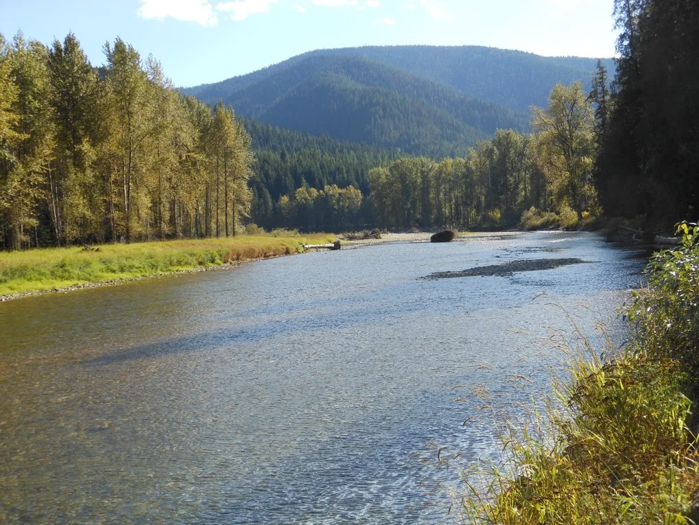
Flow readings and source information Local forecast and seasonal clues Access information and official rules Share observations or request an atlas View full photo ↗ St. Joe River at Red Ives, Idaho; upper-river context, upstream of Calder · Greg Tensmeyer · Public domain . Resized; display crop. Not current conditions. St. Joe River Calder and upstream river-road corridor
Why fish here? Clear mountain water with pools, riffles and forested banks to explore.
Flow readings and source information Local forecast and seasonal clues Access information and official rules Share observations or request an atlas View full photo ↗ North Fork Coeur d'Alene River, Idaho · Forest Service Northern Region from Missoula, MT, USA · Public domain . Resized; display crop. Not current conditions. North Fork Coeur d'Alene River Enaville and upstream North Fork corridor
Why fish here? A forested freestone where clear pools connect short pieces of riffle water.
Flow readings and source information Local forecast and seasonal clues Access information and official rules Share observations or request an atlas View full photo ↗ Big Wood River at Hailey, Idaho · U.S. Geological Survey from Reston, VA, USA · Public domain . Resized; display crop. Not current conditions. Big Wood River Hailey and Ketchum mainstem
Why fish here? A valley freestone with compact riffles and pocket-water lessons close to town.
Flow readings and source information Local forecast and seasonal clues Access information and official rules Share observations or request an atlas View full photo ↗ Lower Deschutes River north of Maupin, Oregon · Gary Halvorson, Oregon State Archives · CC BY 4.0 . Resized; display crop. Not current conditions. Lower Deschutes River Maupin area bank-access corridor
Why fish here? Basalt, broad current lanes and redband trout water in a high-desert canyon.
Flow readings and source information Local forecast and seasonal clues Access information and official rules Atlas updates and river observations View full photo ↗ The Metolius River by Allen Springs Campground in Deschutes National Forest. · U.S. Forest Service- Pacific Northwest Region · U.S. public domain . Resized; display crop. Not current conditions. Metolius River Camp Sherman below Allingham Bridge
Why fish here? Clear spring-fed water, forest trails and challenging feeding lanes.
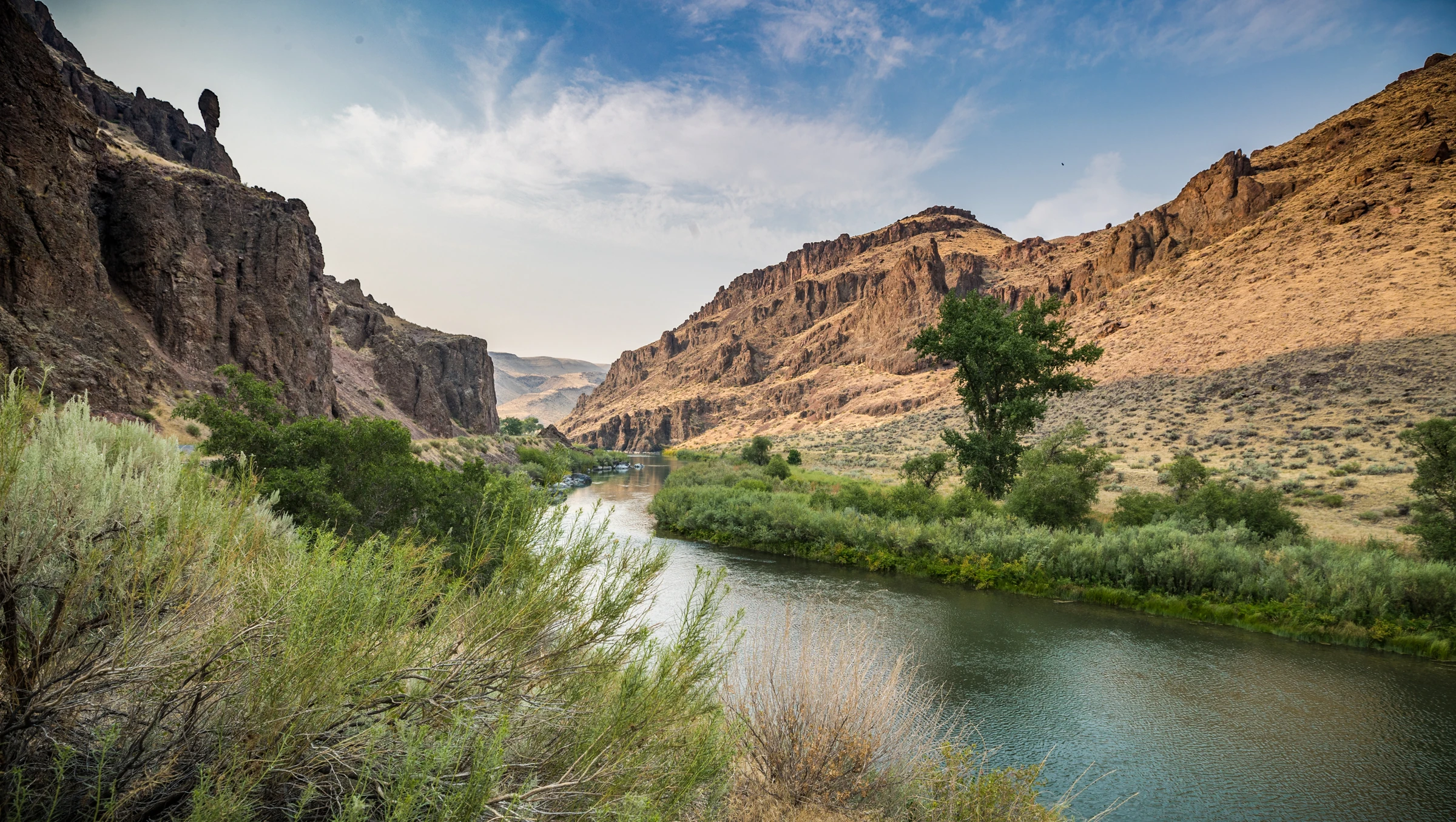
Flow readings and source information Local forecast and seasonal clues Access information and official rules Share observations or request an atlas View full photo ↗ The Owyhee River in the canyon below Owyhee Dam, Oregon. · Greg Shine / BLM · CC BY 2.0 . Resized; display crop. Not current conditions. Owyhee River Tailwater below Owyhee Dam
Why fish here? A desert tailwater with bends, soft seams and deliberate trout feeding.
Flow readings and source information Local forecast and seasonal clues Access information and official rules Share observations or request an atlas View full photo ↗ McKenzie River, Oregon; regional river context · BLM Oregon & Washington · Public domain . Resized; display crop. Not current conditions. McKenzie River Mainstem near Vida
Why fish here? Forest, moving seams and classic western riffle water.
Flow readings and source information Local forecast and seasonal clues Access information and official rules Share observations or request an atlas View full photo ↗ Crooked River near Prineville, Oregon · Bureau of Land Management Oregon and Washington · Public domain . Resized; display crop. Not current conditions. Crooked River Bowman Dam canyon tailwater
Why fish here? A compact desert tailwater with many short drifts to study.
Flow readings and source information Local forecast and seasonal clues Access information and official rules Share observations or request an atlas View full photo ↗ Williamson River, Oregon · Merry Lorraine · CC BY-SA 4.0 . Resized; display crop. Not current conditions. Williamson River Below Sprague confluence near Chiloquin
Why fish here? Broad lower-river water connected to the Upper Klamath trout system.
Flow readings and source information Local forecast and seasonal clues Access information and official rules Share observations or request an atlas View full photo ↗ Fall River in summer, Deschutes County, Oregon · LocalGirl at English Wikipedia · CC BY 3.0 . Resized; display crop. Not current conditions. Fall River Headwaters and hatchery corridor near La Pine
Why fish here? Small, clear spring water for close observation and precise drifts.
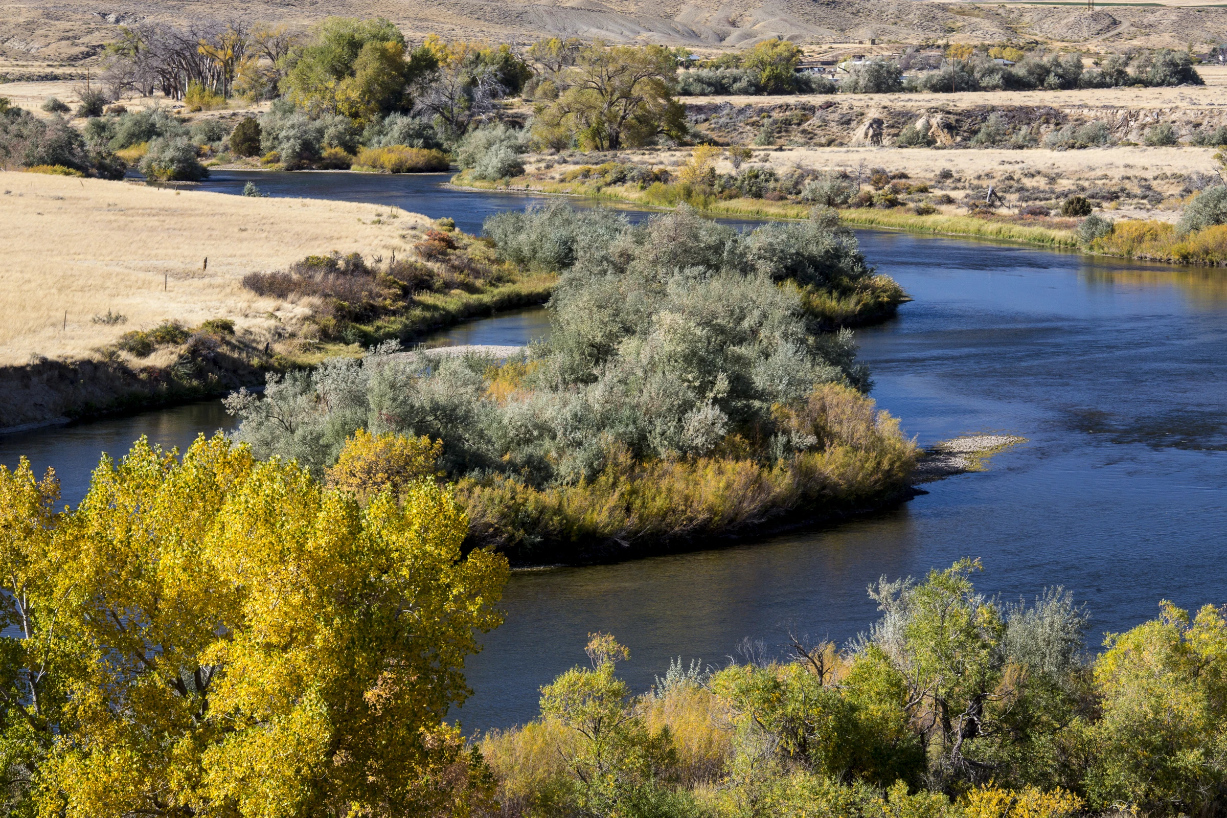
Flow readings and source information Local forecast and seasonal clues Access information and official rules Share observations or request an atlas View full photo ↗ An autumn bend on the North Platte in the Trappers Route corridor, Wyoming; position relative to Grey Reef and Government Bridge is unverified. · Bob Wick / Bureau of Land Management · CC BY 2.0 . Resized; display crop. Not current conditions. North Platte River Grey Reef Dam to Government Bridge
Why fish here? Open-country tailwater with long seams and plenty of drift to study.
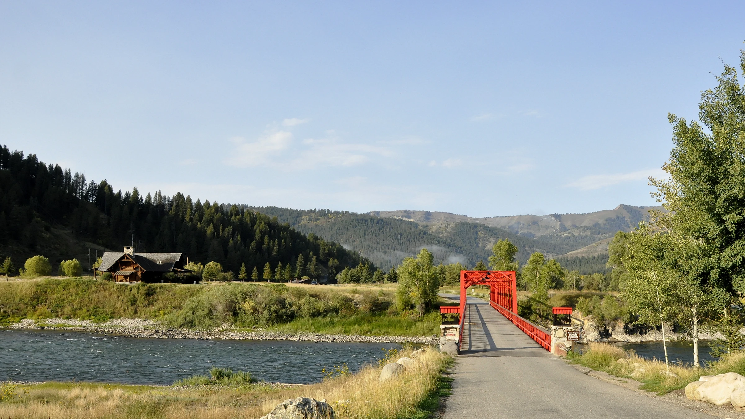
Flow readings and source information Local forecast and seasonal clues Access information and official rules Share observations or request an atlas View full photo ↗ Snake River in the Hoback area, south of Jackson Hole, in September 2014; downstream context, outside the featured valley reach. · Paul Hermans · CC BY-SA 3.0 . Resized; display crop. Not current conditions. Snake River · Jackson Hole Mainstem below Flat Creek near Jackson
Why fish here? A broad braided river with cutthroat water and mountain-valley scenery.
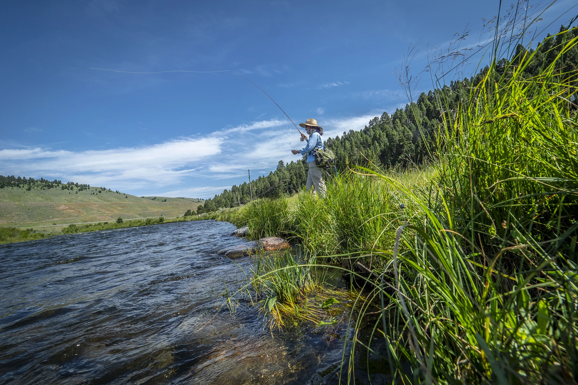
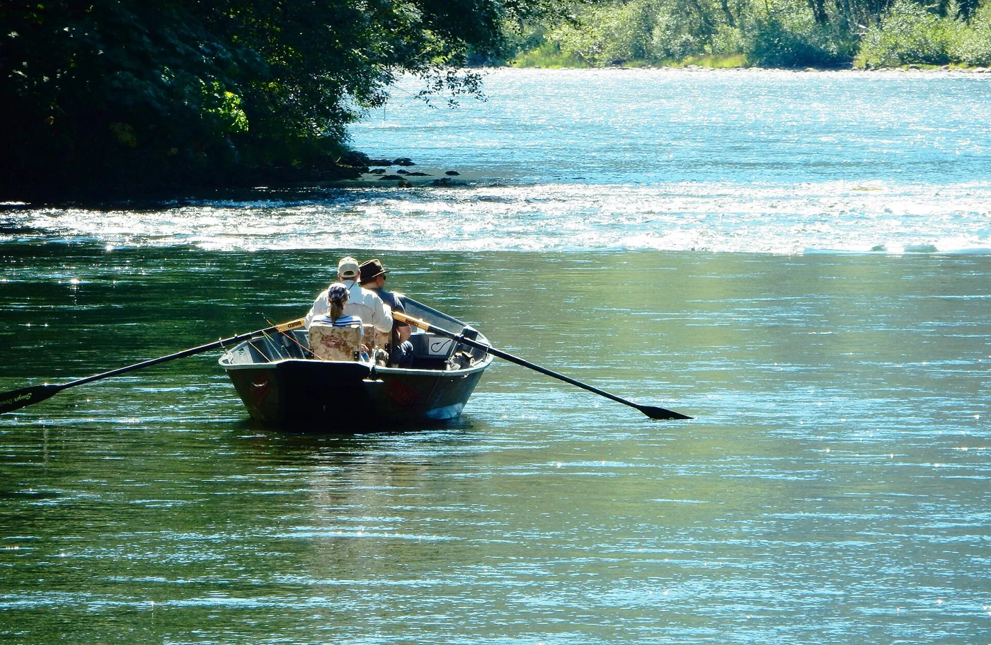
Flow readings and source information Local forecast and seasonal clues Access information and official rules Share observations or request an atlas View full photo ↗ Illustrative fly-fishing photo. · Preston Keres / USDA · Public domain . Resized; display crop. Not current conditions. New Fork River Pinedale near Pine Creek
Why fish here? A winding valley river where public access deserves as much planning as the fishing.
Flow readings and source information Local forecast and seasonal clues Access information and official rules Share observations or request an atlas Make the connection.
A gauge is one clue. The forecast is another.
JavaScript is off. All states and rivers are listed above.

 View full photo ↗